We have the qualified people (Geomatics engineers, Drafters, team leader, and project manager) to manage all tasks and projects.
achieving the required accuracy for each project.
e have the needed equipment GPS with radio, Total station and Laser Scanner instruments
We have the experience and efficiency to perform the required tasks
مكتب الحرية للدراسات المساحية هو مكتب مسح دولي تم إنشاؤه في يونيو 2002 ونحن مسجلون ومعتمدون من قبل:
- دائرة الاراضي والمساحة الاردنية.
- نقابة أصحاب مكاتب المساحة.
- أمانة عمان الكبرى.
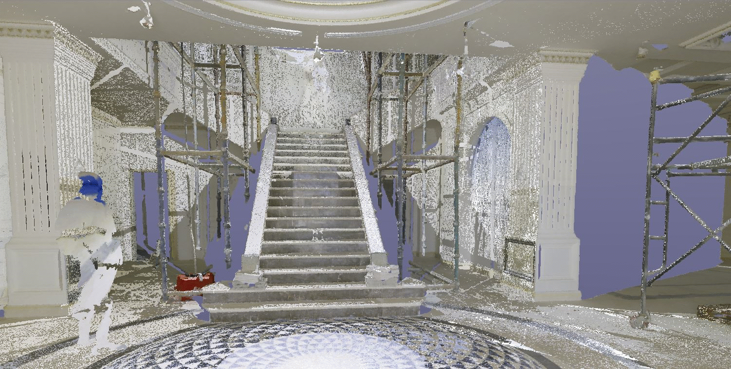
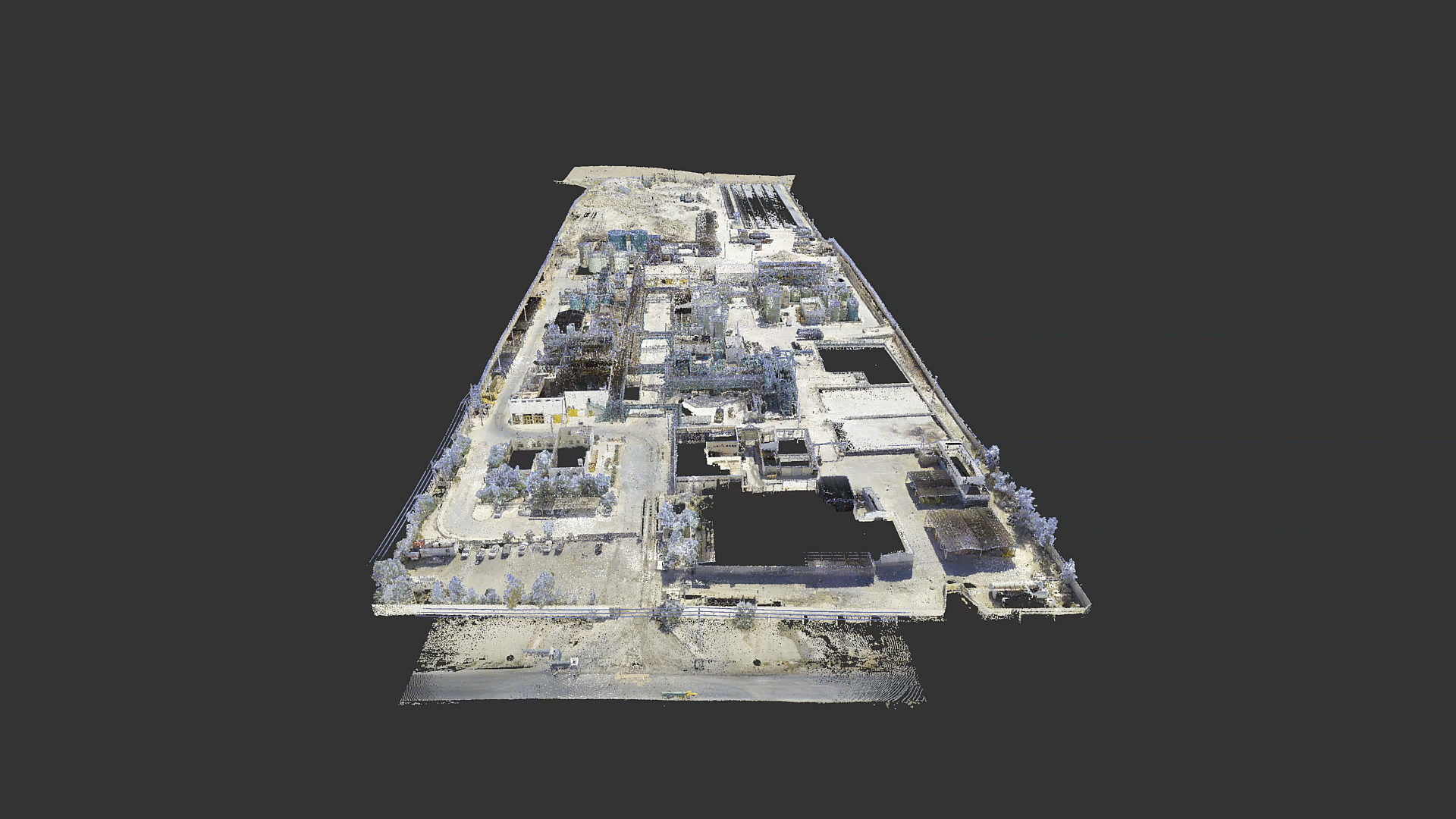
- وزارة الصناعة والتجارة. نحن متخصصون في الجيوماتكس وهندسة المساحة بمفهوم وأدوات حديثة. نقوم بتنفيذ جميع أنواع قياسات البيانات وجمع البيانات ، وإدارة وتنفيذ مهام القياس المعقدة. يتضمن ذلك: مجموعات بيانات الأصول ، ورسم خرائط نظم المعلومات الجغرافية ، والمسح بالليزر ثلاثي الأبعاد.
Apartments and lands secretion transactions
Completing all transactions related to excretion
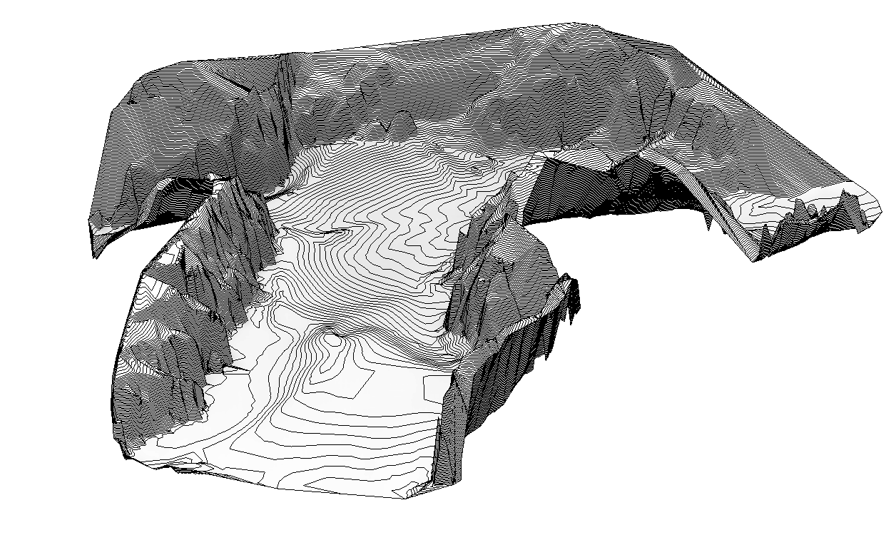
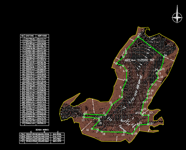
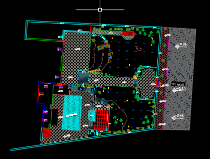
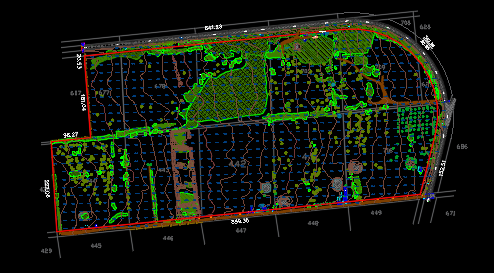
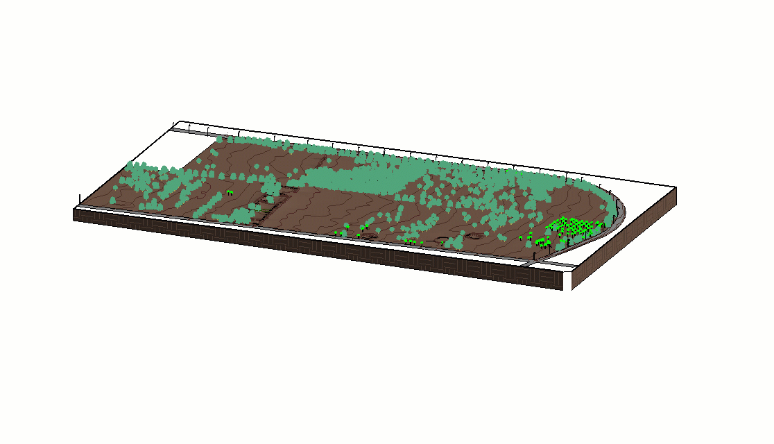
a topographic map is the use of elevation contour lines to show the shape of the Earth's surface
