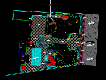
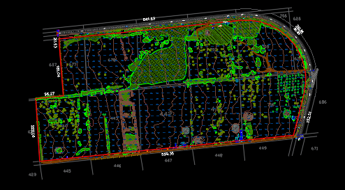
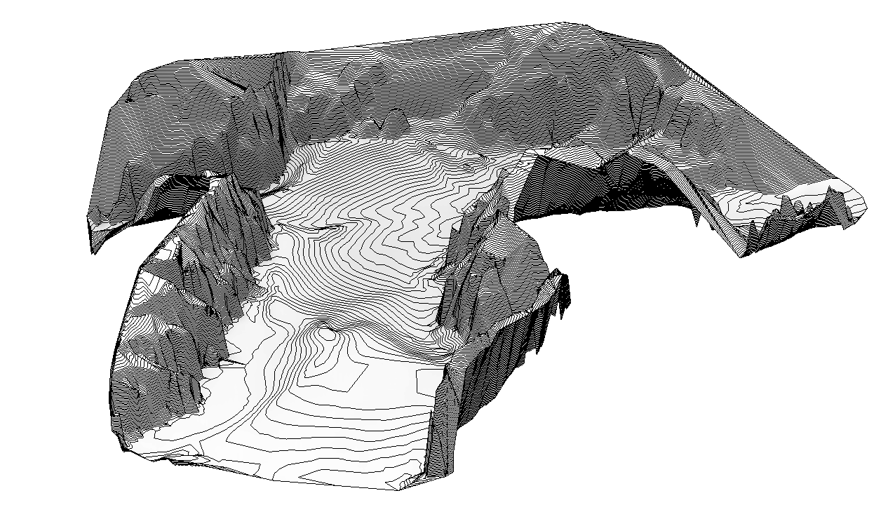
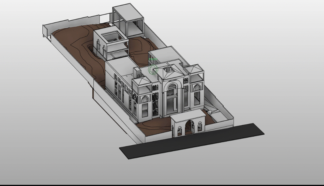
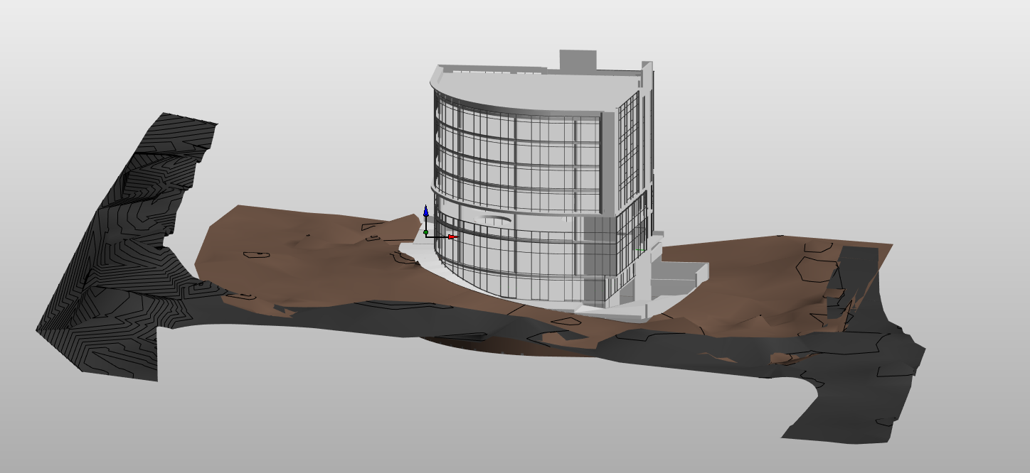
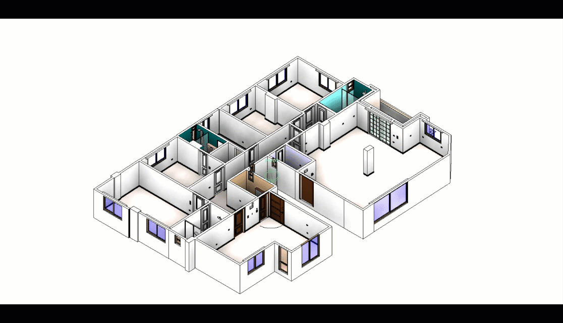
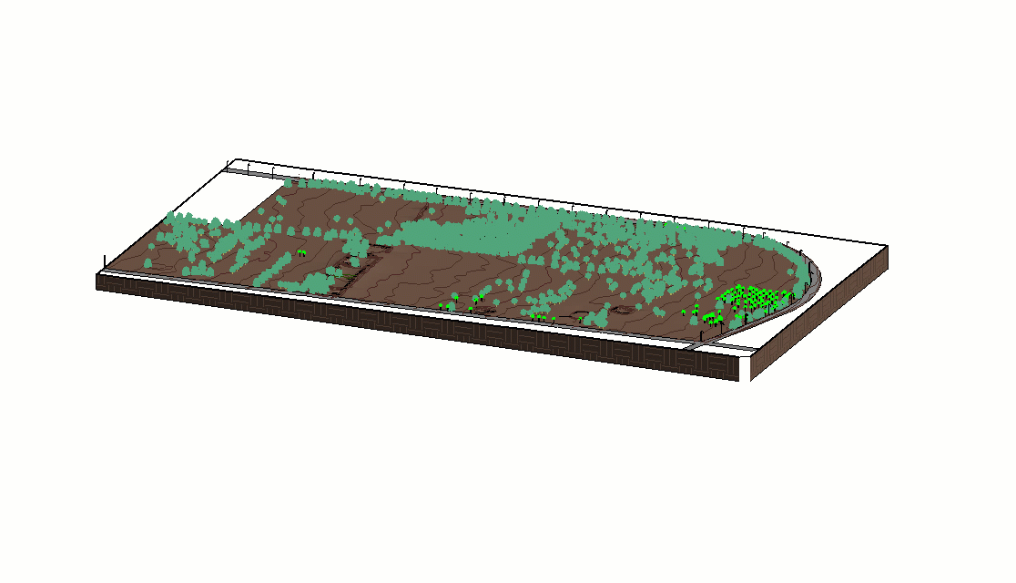
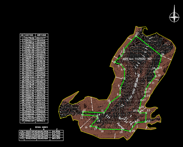
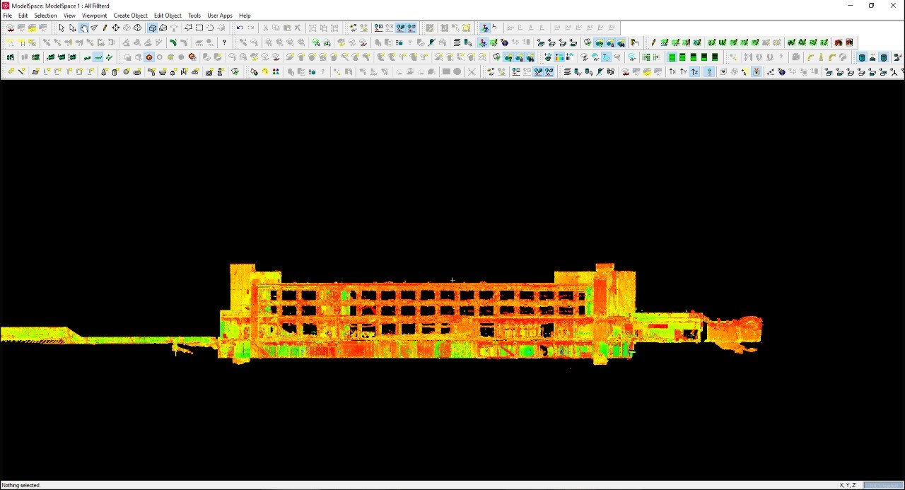
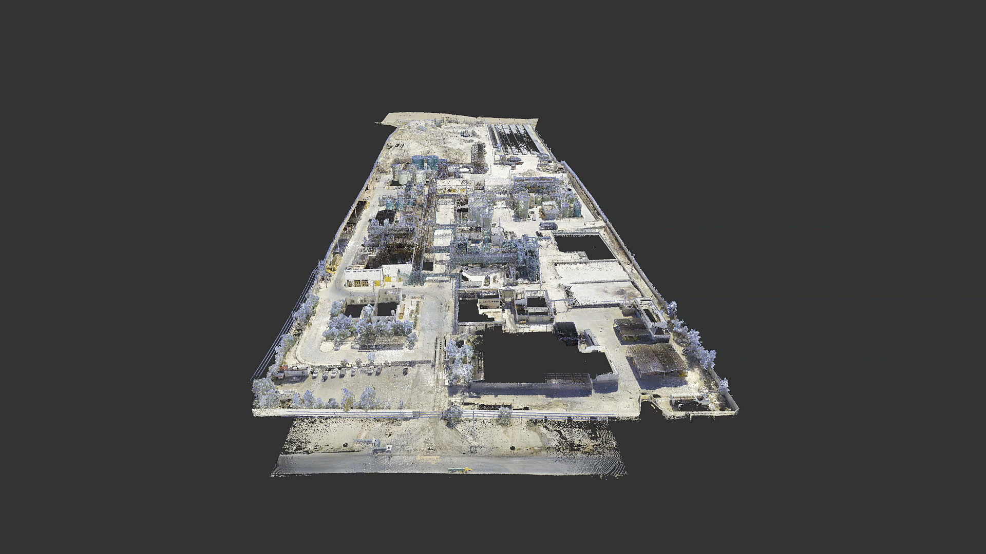
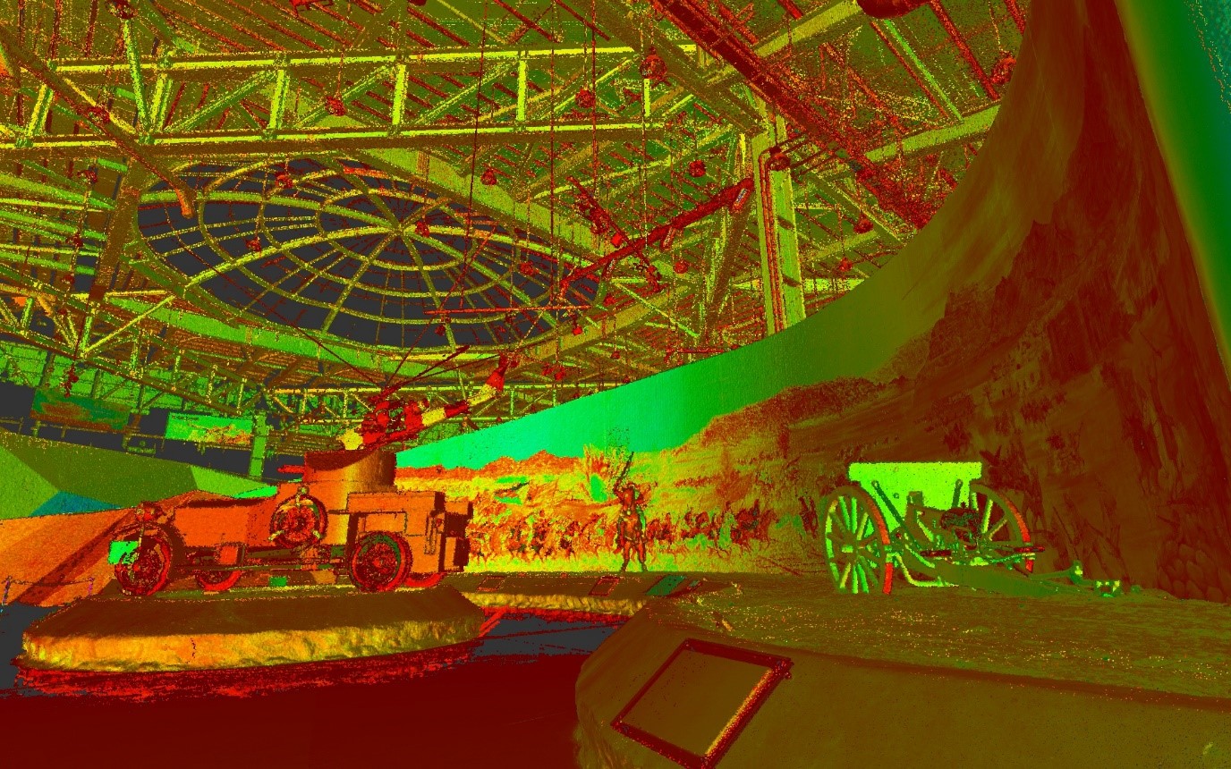
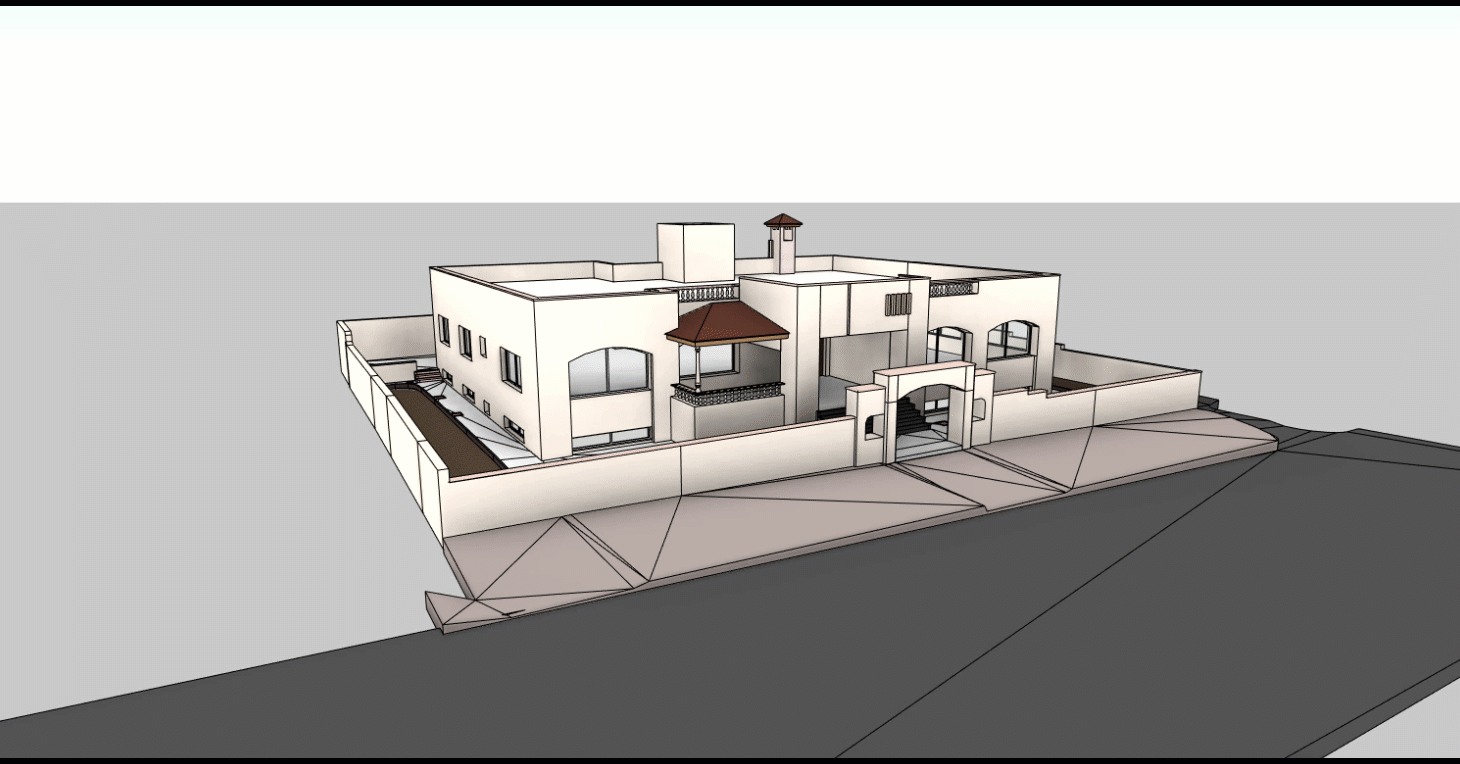
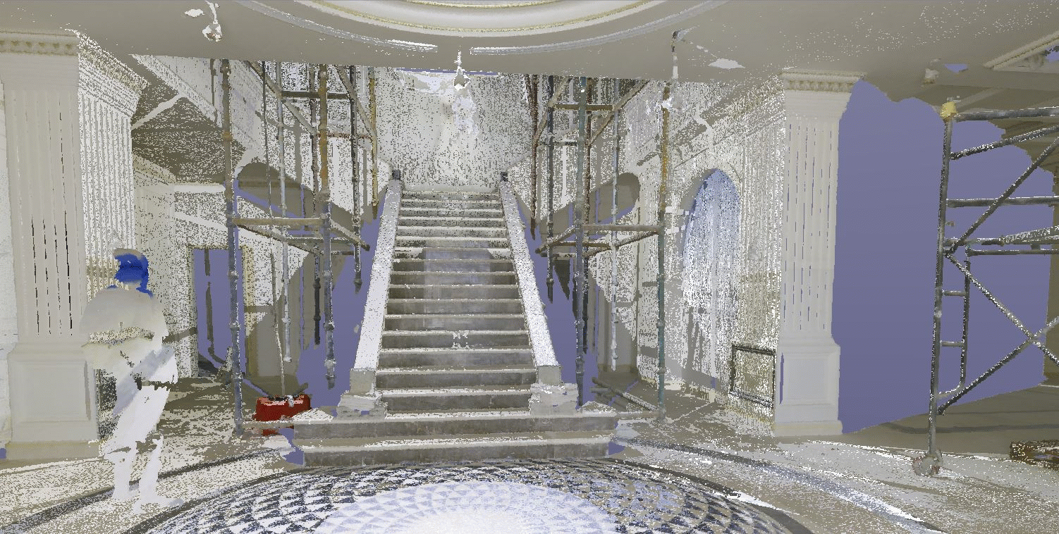
surveying works using a device rtc 360 laser scanning submitted autocad plan , 2d elevation and 3d point cloud (lgs , recap model )
أعمال مساحية باستخدام جهاز الليزر وتسليم نسخة اوتوكاد وواجهات وتسليم نسخة ثلاثية الابعاد


